Product Overview
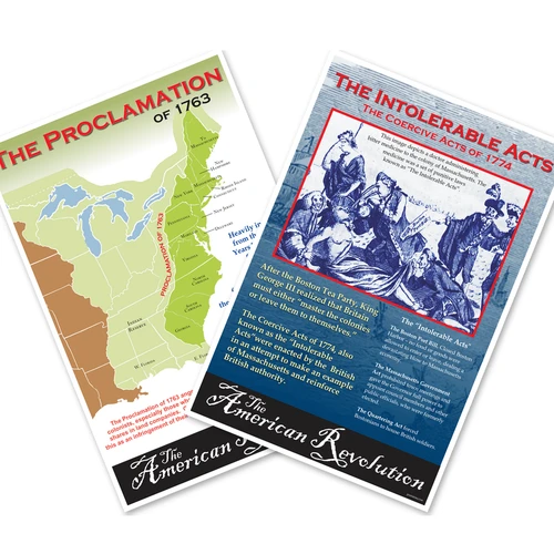
Step into pivotal moments of U.S. expansion with this coordinated two-poster set that pairs the Proclamation of 1763 boundary map with the historic 1869 Golden Spike ceremony photograph. Each 12x18 inch print captures a defining chapter in American history, perfect for classrooms, libraries, and home study spaces. Printed on durable heavy-duty paper and proudly made in the USA by family-owned PosterEnvy, these posters deliver lasting visual impact for social-studies lessons or gallery walls. Display the Proclamation map to explore colonial boundaries and King George III’s decree, then hang the sepia-toned railroad photo to illustrate the transcontinental link that united a nation. Together they create an engaging visual timeline that sparks conversation and deepens understanding of America’s growth.
- Hang the Proclamation of 1763 boundary map and the 1869 Golden Spike ceremony photograph together as a matching set of two 12x18 inch history posters that trace early American expansion.
- Bring authentic classroom detail to lessons on colonial America, King George III’s decree, and the First Transcontinental Railroad with these coordinated educational prints.
- Printed on durable heavy-duty paper that resists fading, each poster is made in the USA by family-owned PosterEnvy and built for years of classroom or home display.
- The Proclamation map shows the Appalachian boundary and Indian Reserve, while the historic railroad photo captures the driving of the golden spike at Promontory Summit.
- An ideal gift for history teachers, students, or anyone decorating a study nook, library, or patriotic gallery wall.