

Product Overview
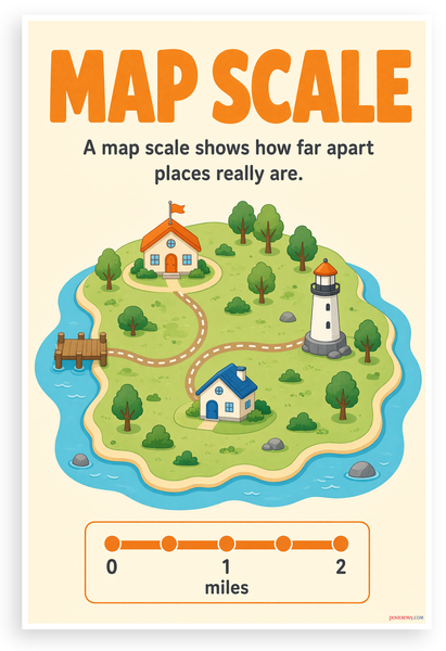
This 12x18 inch poster is printed on premium, durable paper. Proudly Made in the USA by PosterEnvy. The perfect size for any room. PosterEnvy is a family owned business, delivering top-notch posters around the world for over 20 years. Our posters are designed to last — they won't fade or pucker for years of enjoyment. Every poster features crisp, vivid artwork. We are a solar powered company. This educational poster teaches students in grades 2-5 the concept of map scale, showing how a scale bar helps measure real-world distances between places on a map. The cheerful textbook-style illustration features an island with a house, a lighthouse, trees, and a dock, all surrounded by water, with a clear 0-2 mile scale bar at the bottom.
- Premium Print: This PosterEnvy 12x18 inch poster is printed on Durable, Heavy Duty Paper, Designed to last many years. Educational map scale concept with cheerful textbook illustration for elementary students.
- Proudly Made in the USA: PosterEnvy is a Family owned business, delivering top-notch posters around the world for over 20 years. Map scale classroom poster for grades 2-5 learning.
- Solar Powered Production: All our posters are designed and printed using solar energy, with crisp vivid artwork. Island map illustration with scale bar showing 0, 1, 2 miles.
- Map Scale Concept: Flat cheerful textbook illustration shows how scale measures real distances between places. Features island with house, lighthouse, trees, dock, and blue water.
- Perfect Gift Idea: Ideal gift for elementary teachers, homeschool parents, and students learning geography. Great for classroom walls, study spaces, and educational decor.