

Product Overview
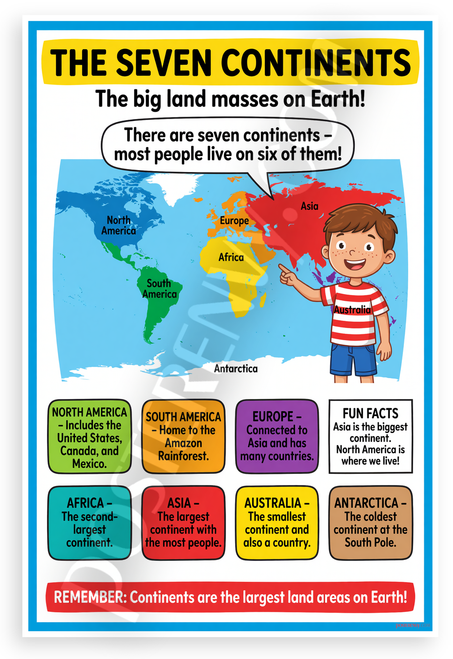
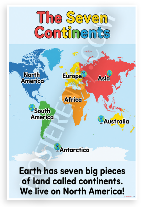
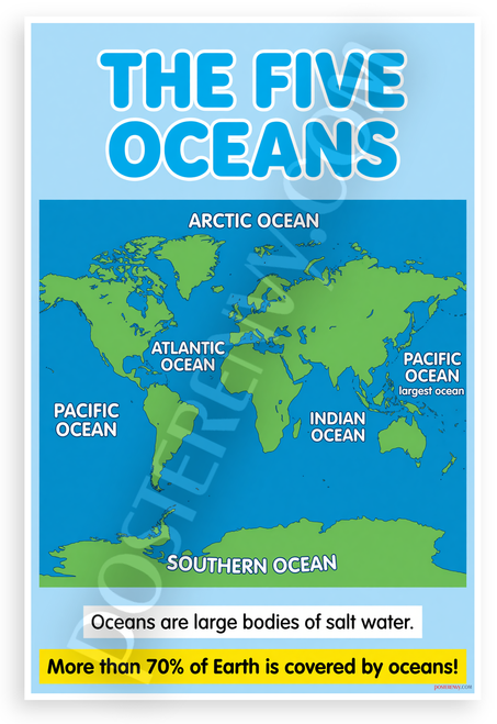
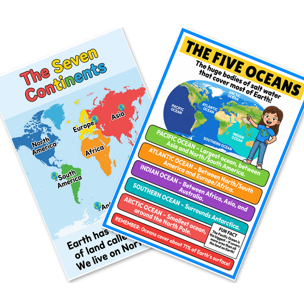
Bring the planet into focus with this coordinated pair of educational posters featuring a vibrant labeled map of the seven continents and a clear illustrated chart of the five oceans. Each 12x18 inch print is designed for classrooms, homeschool spaces, or any room where young explorers want to understand Earth’s landmasses and saltwater bodies at a glance. PosterEnvy prints both pieces on durable heavy-duty paper in their family-owned, solar-powered U.S. facility, so the set stays bright through years of lessons, quizzes, and curiosity-driven conversations. Hang the continents map beside the oceans chart to create an instant geography learning station, or split them between two walls for a cohesive global theme that grows with students from elementary through middle school.
- Display the Seven Continents world map and Five Oceans geography chart together as a matching set of two 12x18 inch educational posters that turn any wall into a learning zone.
- Brightly colored continents—North America, South America, Europe, Africa, Asia, Australia, and Antarctica—are clearly labeled with kid-friendly cartoon icons that make geography memorable.
- Five major oceans—Pacific, Atlantic, Indian, Southern, and Arctic—are illustrated with color-coded bars and simple facts so students quickly grasp Earth’s saltwater coverage.
- Printed on heavy-duty paper at PosterEnvy’s family-owned, solar-powered U.S. workshop, these posters are built to survive daily classroom use and repeated reference.
- Perfect gift for teachers, homeschool families, or any young explorer who loves maps, globes, and learning about the world.